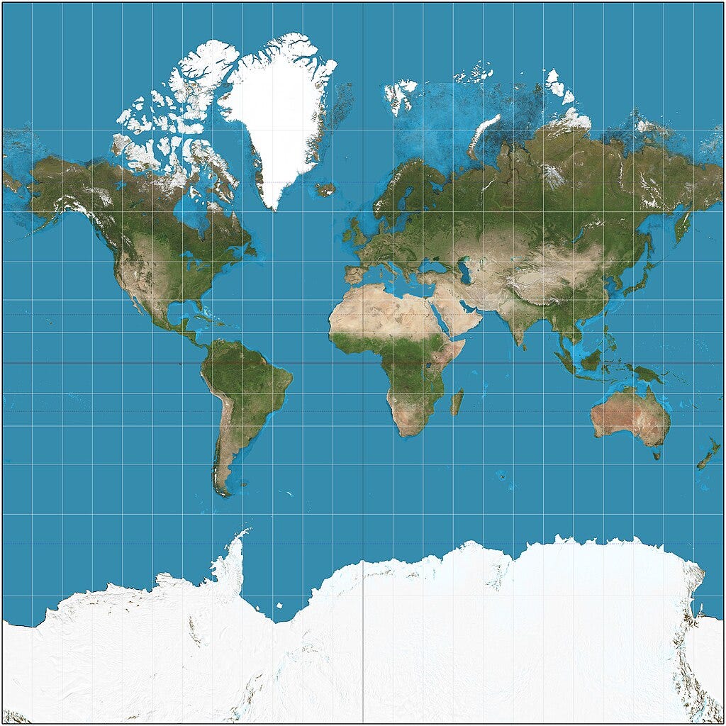
Nebraska State Senator Justin Wayne proposed LB 962 which banned public schools from using Mercator projection maps (https://nebraskalegislature.gov/bills/view_bill.php?DocumentID=54916). Oh, but the left is worried about Moms For Liberty banning sexually explicit books (https://www.newsweek.com/moms-liberty-banned-book-list-schools-1756574). Yet, Nebraska Unicameral effectively banned Mercator (https://en.wikipedia.org/wiki/Mercator_projection) projection maps in public schools.
Why? Accusations of racism. All projection maps contain substantial bias. This is why schools should have globes to show students the relationship of countries and oceans on the Earth. But why take issue with the Mercator map? Because it makes Africa much smaller than it actually is. Sorry, but Greenland is not the same size as Africa.
Instead of advocating for globes of the Earth, the legislation advocates for more biased projection maps. Yes, the Unicameral passed legislation in support of the Gall-Peters projection map (https://en.wikipedia.org/wiki/Gall%E2%80%93Peters_projection). The only good thing about this map is it shows Africa is heavily desert.
The same legislation favors the AuthaGraph (https://en.wikipedia.org/wiki/AuthaGraph_projection) projection map shown below:
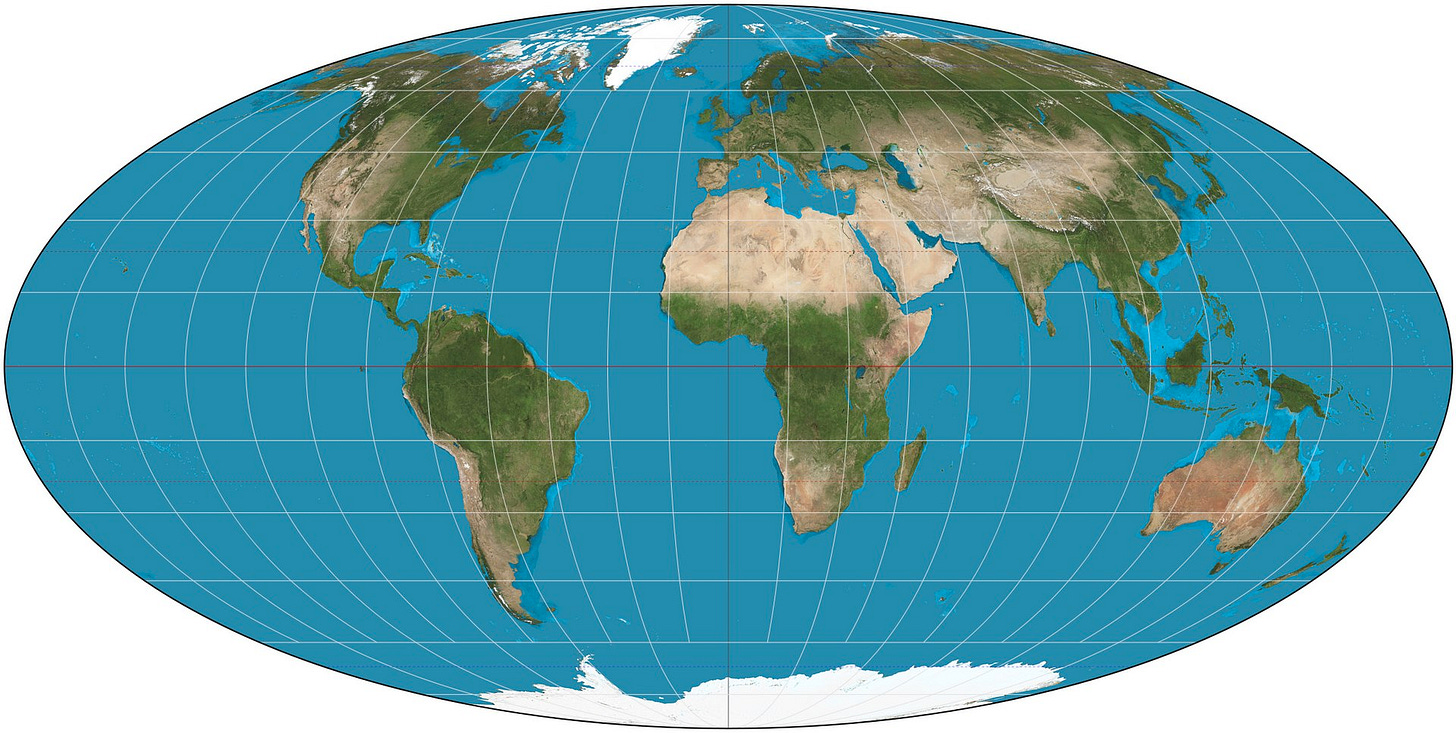
Yet, the Mollweide projection map (https://en.wikipedia.org/wiki/Mollweide_projection) does equal out the distortions but the Nebraska Unicameral never discussed this apparently.
Having said all this, as a lover of geography, I say buy an Earth globe. A globe evades all these distortions. Right now, many public schools are going to start throwing out maps and buying new ones with this legislation. Now is a good time to tell them to buy globes as they carry far more meaning.


They did... WHAT??? Banning Mercater maps because of DEI racism is nuts.
A globe is an excellent teaching tool for showing proper proportion and location, but sometimes you need a flat, 2-D representation to show certain concepts. The Mercater map has one purpose: to show where/how longitudinal and latitudinal lines align and intersect across our world in a grid. It's a teaching tool used for specific concepts that are easily communicated and grasped when properly taught USING this specific layout.
I plan to contact my elected representatives to have a word with them about their involvement.